History
according to folk legend, in the year 1498, Vasco da Gama landed at St. Mary's Islands on his voyage from Portugal to India, fixed a cross on the island and named one of these islands, El Padron de Santa Maria, as a dedication to Mother Mary, before he proceeded toKozhikode in Kerala. It is from this name that the islands have got their current name
Geography and topography
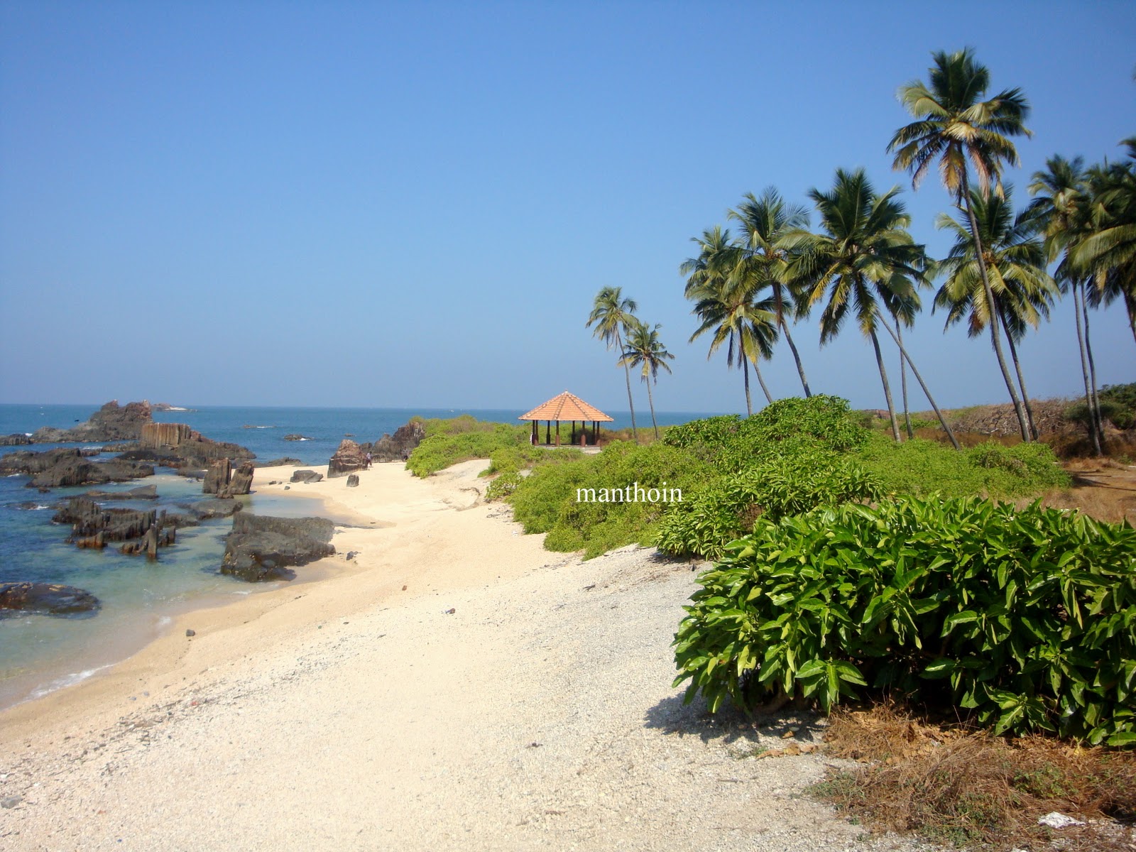
 Out of the four islands which form St. Mary’s Islands, the northernmost island has a basaltic rock formation in a hexagonal form, the only one of its type in India. The island covers an area which is about 500 m (1,640.4 ft) in length with a width of 100 m (328.1 ft). It has prominent coconut trees, its cover reflecting in an azure south sea colour, and hence the island is also called Coconut Island. There is no habitation on the islands.

Geology
The columnar basaltic lava found in these Islands, which is very well developed in the basalts of Deccan Trap, exhibit an imposing range of hexagonal shaped or multi-faced (polygonal) columns split into a horizontal mosaic. In geological idiom these are called “Columnar Joints”[1]. The lava rocks form regular five, six or seven-sided pillars, called “laminar lava”, and are found in varying heights in all the islands; the tallest of the columns is about 6 m. Considering the importance and rarity of such an occurrence, these islands were classified as a National Geological Monument in 2001 by the Geological Survey of India

Geological age of the rock
There are different theories on the age of the St. Mary’s Islands rocks. In the analysis reported in the above section it has been further concluded that the multi domain (MD) state found in these rocks are not as common in the Deccan Traps and are reported to be non-existent in the Rajmahal Traps. Six selected samples from the Islands were subject to whole rock K-Ar dating. This yielded a mean age of 93.1 + 2.4 (2σ) vis-à-vis the age of the Rajmahal Traps of about 105-100 Ma and about 65-35 Ma of the Deccan Traps. With this appreciation, the author has concluded that the igneous activity of St. Mary’s Islands may represent Cretaceous-Tertiary igneous activity.

General information
The western coasts of the islands are a seashell haven with seashells of various shapes and sizes littered along the coast. There is no sand beach to swim and relax since it is scatted with basaltic rocks. But there are flat slabs to sit and enjoy the serenity of the place. The beach has security guards who ensure that visitors do not venture into danger zones of the islands. Watching Sun set at the Islands is also a special sight.[12]. It is a popular picnic spot with locals and tourists alike. December to March is the best season to visit the Islands.
All links to the island are only through the mainland town of Malpe, which is a major fishing harbor. The beach at this location is enlivening. It is located at a distance of 5 km west of Udupi town, the administrative headquarters for the Islands

Access to the islands
The only way of getting to the islands is by boat. Regular ferry service ply the 6 km distance from the Malpe fishing harbor (which has a ship building yard also) to the islands. However, the frequency of these boats may vary depending on the number of tourists visiting. It is 58 km (36.0 mi) to the North of Mangalore, the coastal city of Karnataka, which is also the nearest airport.. The famous religious town Udupi, is about 60 km (37.3 mi) West North West of Mangalore. Mumbai, Udupi and Thiruvananthapuram are linked to Malpe, by the West Coast Railway.[1] The Konkan Railway (map pictured) passes close to the Islands, starting from Mangalore passing through Udupi, Kundapura, Goa, Ratnagiri and Roha close to Mumbai. Malpe is 4 km (2.5 mi) from Udupi town