Showing posts with label beach. Show all posts

Monday, February 04, 2013

Bekal Fort,ബേക്കല്‍ കോട്ട

Location: About 16 km South of Kasaragod on the national highway, Kasaragod district, North Kerala
Bekal fort is the largest fort in Kerala, situated at Kasaragod districtNorth Kerala. spreading over 40 acres (160,000 m2). Some important features of this fort are the water-tank with its flight of steps, the tunnel opening towards the south, the magazine for keeping ammunition and the broad steps leading to the Observation Tower, which is a rarity. From there one has an ample view of towns in the vicinity like KanhangadPallikkara, Bekal, Kottikkulam, Uduma etc. The nearest railway stations are Pallikare, Kotikulam, Kanhangad,and Kasargod. This observation center had strategic significance in discovering even the smallest movements of the enemy and ensuring the safety of the Fort.
 Mrore:http://en.wikipedia.org/wiki/Bekal_Fort
 Kasaragod, the Northern most district of Kerala is renowned as the land of gods, forts, rivers, hills and beautiful beaches. The imposing fort at Bekal is one of the largest and best preserved forts in Kerala. The beautiful expanse of the shallow beach near the Bekal fort known as Bekal Fort Beach has been developed as an exotic beach location by the Bekal Resorts Development Corporation

Beautification: Beautification of the site includes installation of two sculptures of Theyyam created using laterite on the beach and a shed the walls of which are adorned with murals created by artisans from Nilambur. Apart from these a rock garden at the parking area has been developed where laterite boulders of various sizes have been utilised. Under the social forestry scheme, trees have been planted in the beach area.
Parking facilities: The BRDC has developed about 7000 sq. m of land for parking different types of vehicles.
Walkway: A beautiful walkway has been laid for the visiting tourists to explore the beauty of the fine coastline and enjoy the panoramic view of the Bekal Fort.

Read More:http://www.keralatourism.org/destination/destination.php?id=199042196

Saturday, February 19, 2011

St Mary's Island Beach Udupi Karnataka

St. Mary's Islands also known as Coconut Island, are a set of four small islands in the Arabian Sea off the coast of Malpe in Udupi,KarnatakaIndia. They are known for their distinctive geological formation of columnar basaltic lava


History

 according to folk legend, in the year 1498, Vasco da Gama landed at St. Mary's Islands on his voyage from Portugal to India, fixed a cross on the island and named one of these islands, El Padron de Santa Maria, as a dedication to Mother Mary, before he proceeded toKozhikode in Kerala. It is from this name that the islands have got their current name

Geography and topography

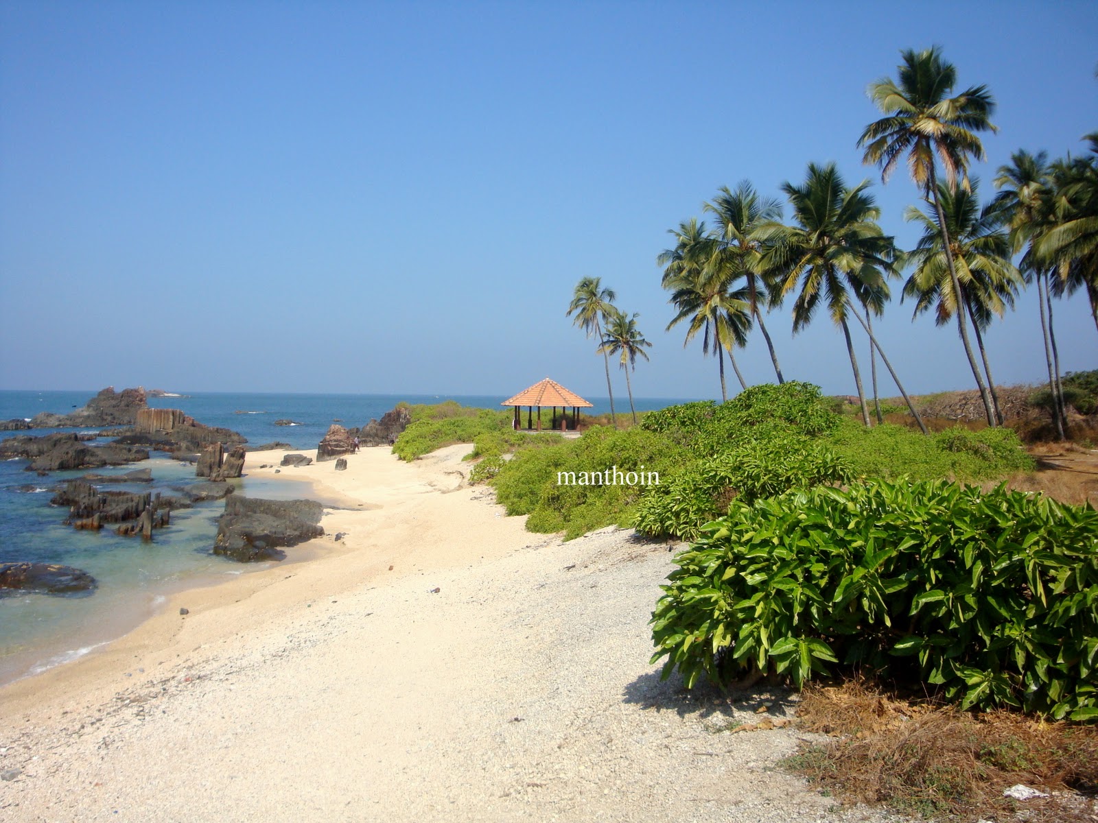
Out of the four islands which form St. Mary’s Islands, the northernmost island has a basaltic rock formation in a hexagonal form, the only one of its type in India. The island covers an area which is about 500 m (1,640.4 ft) in length with a width of 100 m (328.1 ft). It has prominent coconut trees, its cover reflecting in an azure south sea colour, and hence the island is also called Coconut Island. There is no habitation on the islands.


Geology

The columnar basaltic lava found in these Islands, which is very well developed in the basalts of Deccan Trap, exhibit an imposing range of hexagonal shaped or multi-faced (polygonal) columns split into a horizontal mosaic. In geological idiom these are called “Columnar Joints”[1]. The lava rocks form regular five, six or seven-sided pillars, called “laminar lava”, and are found in varying heights in all the islands; the tallest of the columns is about 6 m. Considering the importance and rarity of such an occurrence, these islands were classified as a National Geological Monument in 2001 by the Geological Survey of India


Geological age of the rock

There are different theories on the age of the St. Mary’s Islands rocks. In the analysis reported in the above section it has been further concluded that the multi domain (MD) state found in these rocks are not as common in the Deccan Traps and are reported to be non-existent in the Rajmahal Traps. Six selected samples from the Islands were subject to whole rock K-Ar dating. This yielded a mean age of 93.1 + 2.4 (2σ) vis-à-vis the age of the Rajmahal Traps of about 105-100 Ma and about 65-35 Ma of the Deccan Traps. With this appreciation, the author has concluded that the igneous activity of St. Mary’s Islands may represent Cretaceous-Tertiary igneous activity.

General information

The western coasts of the islands are a seashell haven with seashells of various shapes and sizes littered along the coast. There is no sand beach to swim and relax since it is scatted with basaltic rocks. But there are flat slabs to sit and enjoy the serenity of the place. The beach has security guards who ensure that visitors do not venture into danger zones of the islands. Watching Sun set at the Islands is also a special sight.[12]. It is a popular picnic spot with locals and tourists alike. December to March is the best season to visit the Islands.
All links to the island are only through the mainland town of Malpe, which is a major fishing harbor. The beach at this location is enlivening. It is located at a distance of 5 km west of Udupi town, the administrative headquarters for the Islands

Access to the islands

 The only way of getting to the islands is by boat. Regular ferry service ply the 6 km distance from the Malpe fishing harbor (which has a ship building yard also) to the islands. However, the frequency of these boats may vary depending on the number of tourists visiting. It is 58 km (36.0 mi) to the North of Mangalore, the coastal city of Karnataka, which is also the nearest airport..
 The famous religious town Udupi, is about 60 km (37.3 mi) West North West of MangaloreMumbai, Udupi and Thiruvananthapuram are linked to Malpe, by the West Coast Railway.[1] The Konkan Railway (map pictured) passes close to the Islands, starting from Mangalore passing through Udupi, KundapuraGoaRatnagiri and Roha close to Mumbai. Malpe is 4 km (2.5 mi) from Udupi town


Thursday, April 08, 2010

Murudeshwar Beach, Karnataka

Murudeshwar beach, a favorite tourist spot in South India, is situated in between Bhatkal and Honnavar.


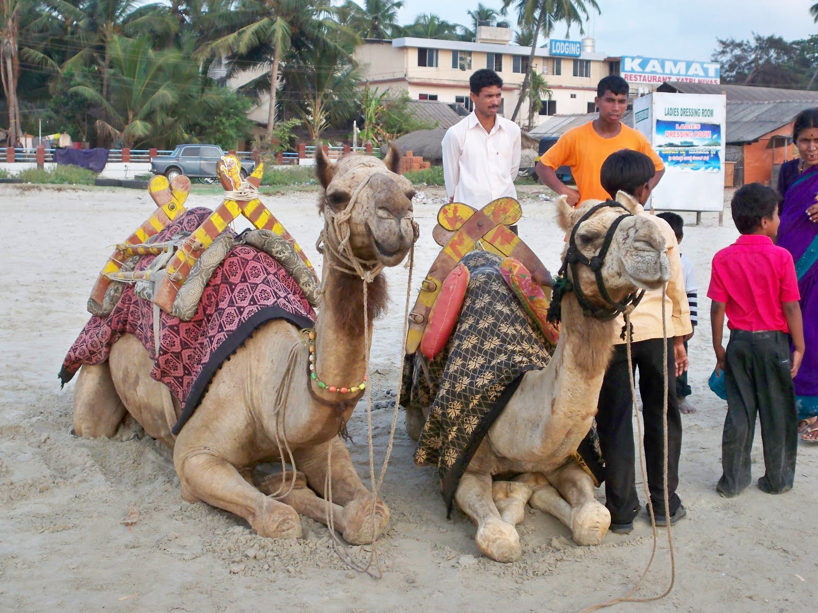


Things to do and see in Murudeshwar
The cool breeze on Murudeshawr beach can be best enjoyed either early in the morning or late afternoon. Peace-lovers can spend their evening, watching kingfishers and seagulls diving for crabs and other creatures between the rocks. The beach also attracts visitors for the adventure of parasailing. Enthusiast can easily finds locals on the sea-beach, offering the colorful parachutes. For boat-rides, visitors can seek help of the local fishermen, who will take riders around the Kandukagiri hillock to the other section of the beach.


Bounded by the shimmering sea and rolling hills, this place is a favourite tourist spot. It is known for the gorgeous temple perched on a hillock by the shore. The temple which embodies a Linga is believed to have erupted when Ravana flung the cloth covering the Atmalinga at Gokarna while lifting it. As one ascends the hillock, there is a shrine of Jattiga seated on a horse. There is a huge fort behind the temple, said to have been renovated by Tipu. The place can be visited all the year round. Murdeshwara is 386 kms from Bangalore/ 151 kms from Karwar. It can be approached by road and rail from Bangalore and by road from Karwar.


Murudeshwar Beach


ಮೋರ್: Murudeshwar ಬೀಚ್

ಮುರುಡೆಶ್ವರ್ Temple

Murudeshwara temple, dedicated to Lord Shiva, lies in the holy beach town in the Bhatkal Taluk of Uttara Kannada district in the state of Karnataka, India. Situated between the Honnavar and Bhatkal town(about 12kms) The statue of Shiva here is the world's tallest and it lies on the coast of the Arabian Sea.
The Statue of Shiva with Ravana handing Atma Linga to Bramhin boy(Lord Ganesha)


he name "Murudeshwara" means Shiva or Eeshwara. The significance of this holy town dates to the time of Ramayana. By penance dedicated to the AtmaLinga, the divine Lingam of Shiva procures invincibility and immortality to the Hindu Gods. Ravana, the Lanka King worshipped Shiva with devotion to attain immortality by obtaining the AtmaLinga. Lord Shiva appeared before Ravana and asked him what he wanted. By this time Lord Vishnu to change Ravana's mind on behest of Narada. As a result of this plot, Ravana asks for Goddess Parvathi, and Lord Shiva offers him.
More

More:http://www.karnataka.com/tourism/murdeshwar

Monday, January 22, 2007

Beach festival

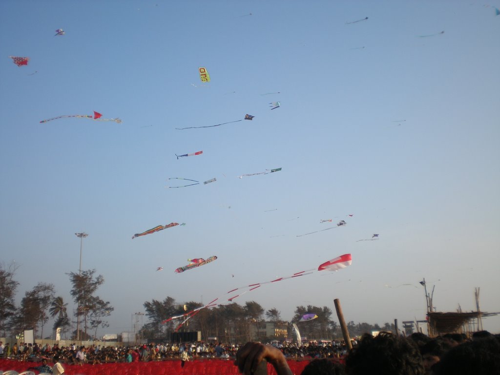
The Oil and Natural Gas Corporation (ONGC) and Team Mangalore have organised an international kite festival for the first time Sunday at the Panambur beach .07
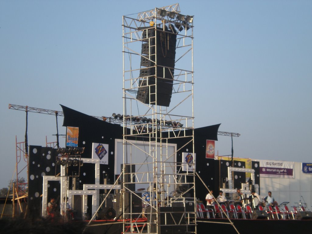
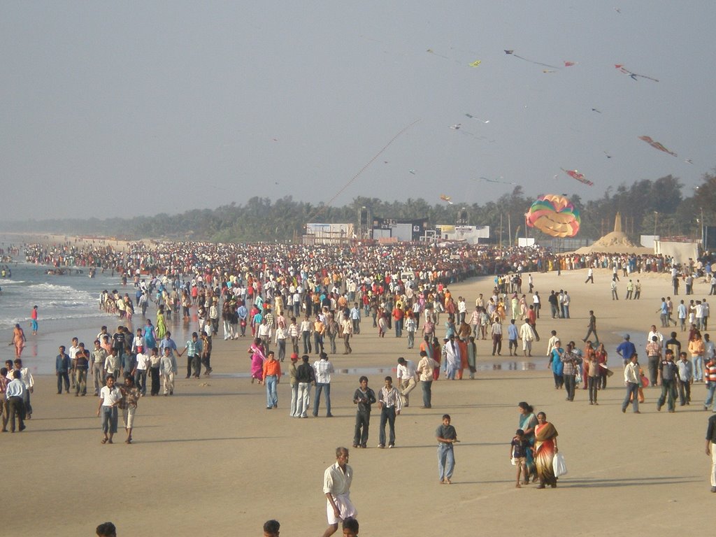


MANGALORE: The carnival at Panambur beach has begun with the inauguration of "Beach Utsav" on Friday.

Colourful kites in the sky, sand sculpture contests, boat races, and a food festival are some of the highlights of the utsav which will go on till Sunday

Thursday, November 02, 2006

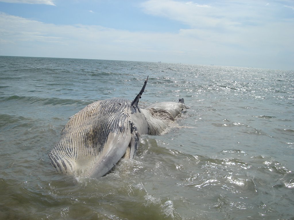
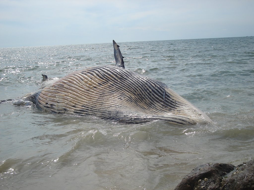
Dead whale on NITK sea shore


The whale shark, Rhincodon typus, is a slow-moving filter feeding shark and the largest extant fish species. The largest confirmed individual had a length of 12.65 metres (41.50 ft) and a weight of more than 21.5 tonnes (47,000 lb), and there are unconfirmed reports of considerably larger whale sharks. This distinctively-marked fish is the only member of its genus Rhincodon and its family, Rhincodontidae (called Rhiniodon and Rhinodontidae before 1984), which belongs to the subclass Elasmobranchii in the class Chondrichthyes. The species originated about 60 million years ago.
The whale shark is found in tropical and warm oceans and lives in the open sea with a lifespan of about 70 years.[3] Although whale sharks have very large mouths, as filter feeders they feed mainly, though not exclusively, on plankton, which are microscopic plants and animals. However, the BBC program Planet Earth filmed a whale shark feeding on a school of small fish. The same documentary showed footage of a whale shark timing its arrival to coincide with the mass spawning of fish shoals and feeding on the resultant clouds of eggs and sperm.[1]
The species was distinguished in April 1828 after the harpooning of a 4.6 metres (15.1 ft) specimen in Table Bay, South Africa. Andrew Smith, a military doctor associated with British troops stationed in Cape Town, described it the following year.[4] The name "whale shark" comes from the fish's physiology, being as large as many whales[5] and also a filter feeder like many whale species.


Wahhh... Bigmouth......


The whale shark inhabits all tropical and warm-temperate seas. They are known to migrate every spring to the continental shelf of the central west coast of Australia. The coral spawning of the area's Ningaloo Reef provides the whale shark with an abundant supply of plankton.


More:http://en.wikipedia.org/wiki/Whale_shark


A Close view... ( click photo to enlarge)
Dead Whale is found in Mukka beach (Near to NITK beach) on 4th week of Oct 2006. whale has morethan 12 metes long. This one is the bigest fish (mammals) I found in this costal area.


"Even Your Best Friends Won't Tell You "


Tuesday, July 04, 2006

On The way of NITK Beach...

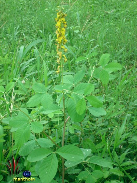
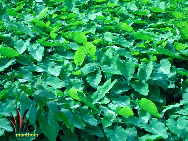
On the way of NITK Beach,You Can find Natural Beauties.....!!!! (only in Rainy Sesons....)


Thursday, April 27, 2006

one snap from goa tour...

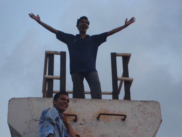
yeehhh... finaly we reach the top ..


This photo was taken at the enterance of fort.

Monday, April 03, 2006

Panamboor Beach

Sun set in panamboor

manthoin in action....!!!!!!
port view.....


We are in panamboor beach


Crowd in panamboor beach
For More Beach photos :http://simurl.com/BEACH PHOTOS
"Even your Best Friends won't tell you "